Tracking water quality along coasts is challenging due to rapidly changing conditions, making it difficult to capture the most up-to-date data. Satellites provide increased coverage of these dynamic environments, but they are not always able to capture the variability in water color along the coast. Satellites like SeaHawk, Sentinel, and Landsat still need more on-the-ground data to get the full picture.
To help with this, we are developing a participatory science program working with individuals, organizations, businesses, and agencies across U.S. coasts, where volunteers use simple, affordable tools called mini-Secchi disks to measure water clarity, color, and more. They can then easily upload their findings through a mobile app. The data collected in the app can be used to evaluate images produced by satellite sensors.
This research is funded by the Gordon and Betty Moore Foundation.
The SeaHawk/Hawk Eye CubeSat, among others, are optimized for producing images that can more accurately measure ocean color. Understanding the color of the ocean can tell us about the content of the water and whether it contains things like phytoplankton (more green color), sediments (more brown color), or other dissolved materials (darker brown color). The concentration of organisms, sediment, or other dissolved materials in the water can have an influence on the light availability in the water and also may indicate potential water quality concerns. To learn more about SeaHawk-HawkEye and other NASA-supported ocean color research missions, visit oceancolor.gsfc.nasa.gov. Please watch the video above to learn from Dr. Bresnahan, a member of our project research team, about why measuring ocean color is important and why are focusing on it in this project.
Our participatory network consists of everyday people who regularly spend time in the coastal environment. These are individuals, organizations, agencies, and businesses who want to help us collect data on water clarity and color in coasts across the United States. If you’re interested in participating in our network, please click here to learn more!
Secchi disks have been used in a standardized way since the mid-19th century to measure changes in ocean water clarity. Ocean color has been measured for just as long using the Forel-Ule scale which has a 21-color scale. While these techniques have been used for nearly two centuries, they are effective, low cost approaches to accurate measure changes in ocean color and clarity. In this project, we are using a 3-D printed compact mini-Secchi disk created by BrewTek which can quickly and easily be used to measure both ocean color using the Forel-Ule scale and ocean water clarity. After training, our participant’s color and clarity data are automatically uploaded to an international data set using a simple smart- phone app. To learn more about the mini-Sec- chi disk used in this project, watch this short video from Dr. Bob Brewin, the mini-Secchi disk co-creator and member of our project research team.
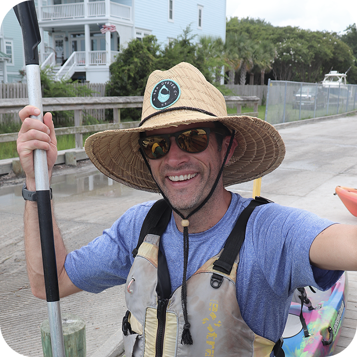
Dr. Phil Bresnahan is an Associate Professor in the Department of Earth and Ocean Sciences and at the Center for Marine Science at the University of North Carolina Wilmington. He serves as Principal Investigator of the SeaHawk-HawkEye project. His research team focuses on the development of new low-cost sensors and sensor networks, designed to help improve our understanding of environmental change. The Coastal Ocean Applied Science & Technology (COAST) Lab is developing new bio-optical sensors to serve as the next generation of data collecting devices as this project evolves.
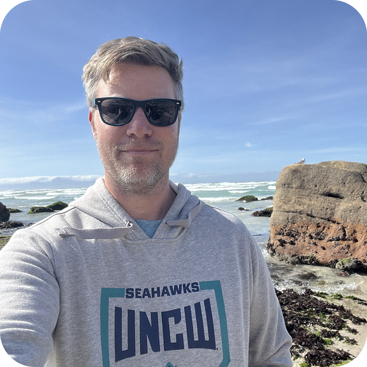
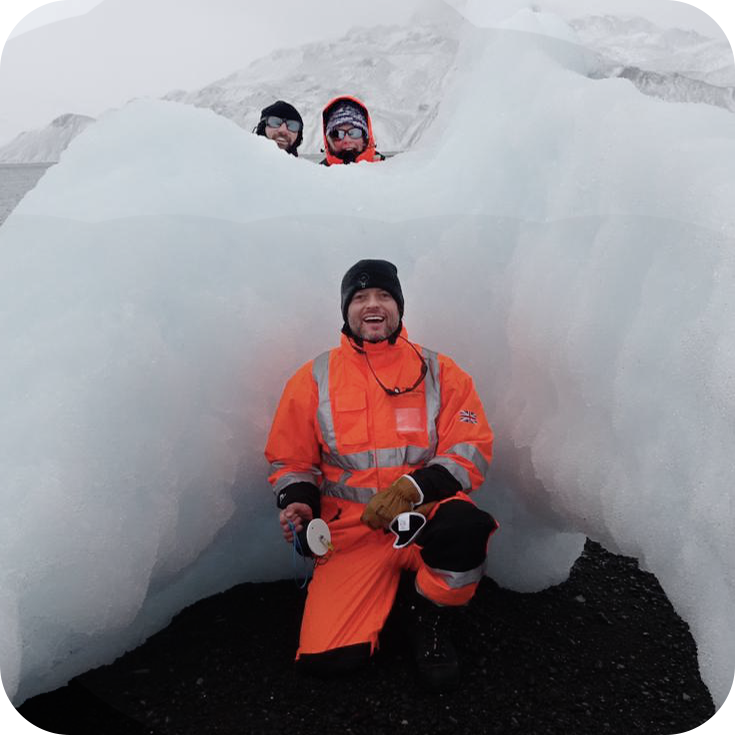
Dr. Bob Brewin is an Associate Professor in Marine Science at the University of Exeter in the UK. His work focuses primarily on the use of satellite ocean color data for studying biological oceanography. He has a keen interest in using participatory science to expand ocean observations of key environmental indicators, such as water temperature and water quality. He co-developed the mini-Secchi disk and more recently the Sensing-Secchi disk. His role in the project has been to coordinate the production of the mini-Secchi disks and app development. He is also working with the team to compare data collected by participants with satellite observations.
Dr. Jo Wood is a physical geographer who uses a range of techniques from meteorology, remote sensing, GIS, fieldwork and statistical modeling to try to understand geomorphic responses to climate change. Jo has been working on matching (in time and space) citizen observations with satellite data, i.e. constructing a match-up dataset of satellite and citizen observations (mini-Secchi) for evaluating satellite products.
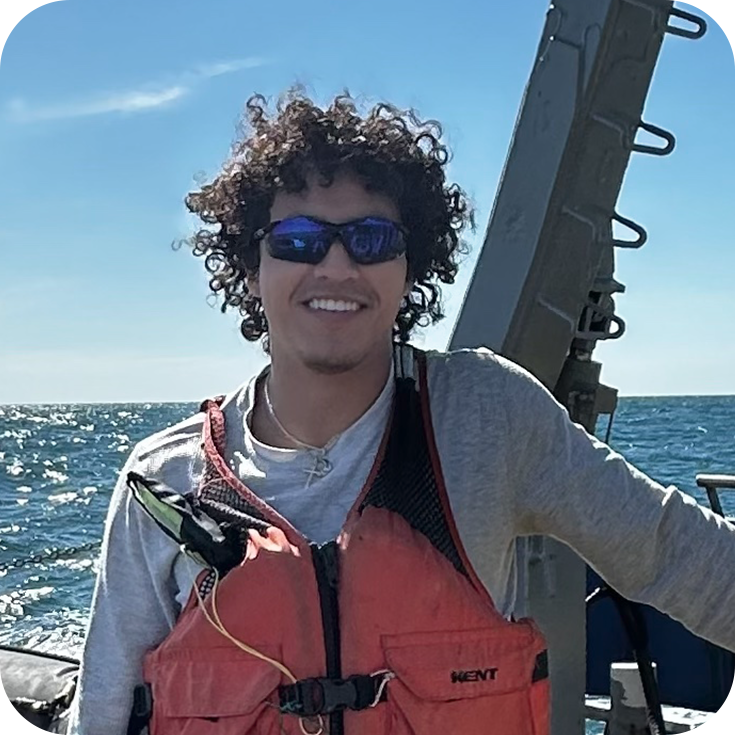
Diego just joined the team as a newly admitted graduate student pursuing a Master of Marine Science degree at UNCW. His interests lie in a variety of topics including beach-dune interactions and coastal resiliency, the use of low and high tech to analyze spatial and climate variables, and the implementation of low-cost sensors to make the constant collection of coastal data more accessible. This spring, Diego will fulfill his role as researcher for the COAST lab through the continuing development of a low-cost multi-parameter water quality sensor. He will also be taking on a position as coordinator for the Participatory Water Color Network.
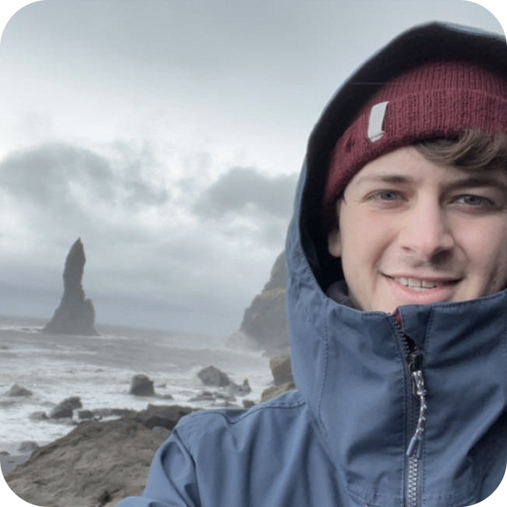
Adam is a PhD student in the Applied Coastal and Ocean Sciences program at the University of North Carolina Wilmington, working within the research team and in the COAST Lab. His interests focus on coastal oceanography and the use of low-cost electronics to increase scientific accessibility in this field. Adam is leading the continued development of a low-cost chlorophylla and turbidity sensor for distribution within this network, with the intended use being the evaluation of satellite performance.
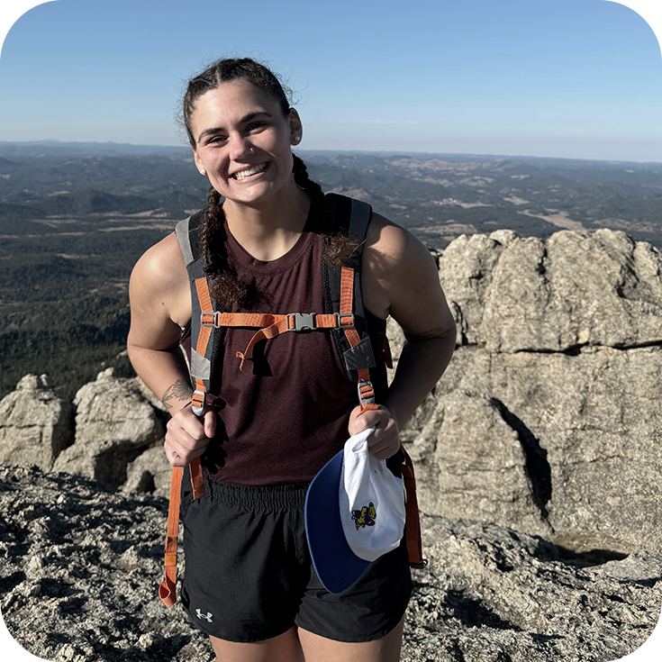
Jessie graduated with a Master’s degree in marine science from UNCW in the Summer of 2024. Jessie constructed the prototype multi-parameter low-cost water quality sensor intended for use for evaluation of Sea- Hawk-Hawk Eye estimates of chlorophyll and turbidity. The goal of Jessie’s thesis was to increase the accessibility of water quality sensors for use in participatory science networks by minimizing costs while maintaining high quality. This project helped Jessie gain important knowledge regarding oceanographic instrumentation and how technological advances in the realm of water quality data are imperative for the continued monitoring of coastal health.
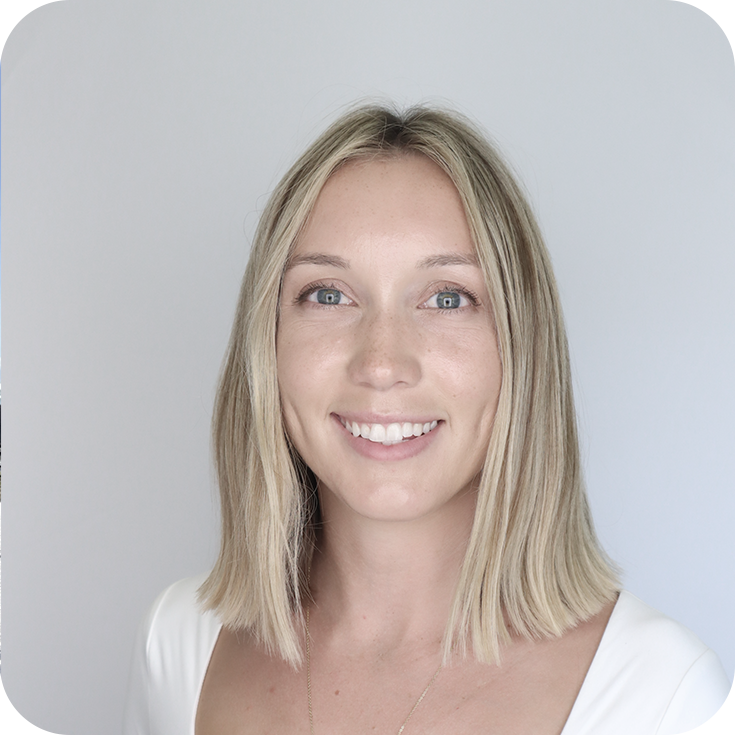
Delaney graduated with Master’s degrees in Environmental Studies and Public Administration from UNCW in December of 2024. As the lead participatory science coordinator for this project, her work focuses on recruiting participants to join the project’s community science network. She also creates educational and instructional content to support participants’ data collection efforts. She is primarily interested in researching motivations and barriers to sustained long-term engagement in community science.
If you’re a network participant and have received your mini-Secchi disk, please use the following resources and training guides to ensure you are collecting water color and clarity data correctly. If you encounter any issues or have any questions, please contact our team at [email protected].
Click to download the Mini Secchi how-to PDF guide, which has step-by-step instructions to get started.
Or download the mini Secchi app. Search ‘Mini Secchi’ in the app store. The app is available in the Apple app store and in Google Play.
Below is an interactive map of water clarity and color data collected in this network!
You can Zoom in to your specific location and select specific points to view the data you collected.
Individuals around the world in other projects are also collecting data on water clarity and color that you can see as you explore on this map. Together, these data help oceanographers and others learn more about our changing ocean and water environments.
If you are consistently working or recreating in the marine and coastal environment, are interested in contributing to a long-term research project, and have five to ten minutes to deploy a sensor and use an app to capture data, then you are a good candidate for this project!
Step 1: Contact our research team at [email protected]
Step 2: We will schedule a phone/Zoom call to discuss this network in more detail and learn more about where you can easily collect data along the coast and your capacity for data collection. We have some limitations on where we can collect data along the coast given the satellite images used in this project.
Step 3: If we agree this project is a good fit for you, then we will mail you a free mini Secchi disk and you can begin reviewing the online resources and trainings on our website.
While more data is better, we will work with each network participant to determine the best fit for your data collection.
You can look at your ‘my measurements’ tab in the app to find past measurements. You can also look on MONOCLE’s data map and search for your data by location.
Contact the team and we will send additional weights to add to your disk.
Our research team is employing an evaluation and adaptive management approach in this network. That means that we want to learn from our network participants about what’s working well, how we can improve, and what you are getting out of participation! These periodic surveys help us answer these questions and make this project as worthwhile and impactful for everyone as possible, so thank you in advance for completing any short survey that you receive.
Yes! We regularly share the results from this project and lessons being learned by our research team in our Newsletters. We also have opportunities for interactions with our research team and fellow network participants during live Zoom meetings that occur 2-3 times per year. Finally, our research team will share posters, papers, and more as they are developed from this network project.